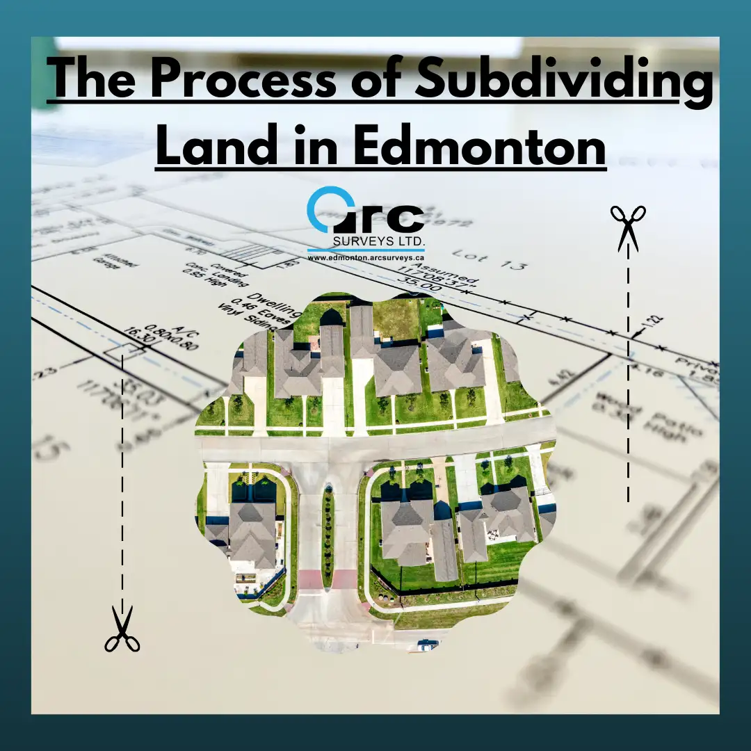
Subdividing land is the process of dividing a larger piece of land into smaller pieces, typically with the aim of creating new properties or lots. This process involves obtaining permits, meeting zoning requirements, and adhering to development standards set by the City of Edmonton. It requires the assistance of a land surveyor to determine the boundaries of the property and to ensure that the new lots comply with all applicable regulations. Once the new lots are created and approved by the City of Edmonton, they can be sold or developed.
The first step in subdividing land in Edmonton is to consult with the City of Edmonton Planning and Development Department. They can provide valuable information about the land subdivision process, including zoning regulations, development standards, and required permits.
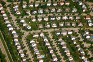
The next step is to conduct a land survey of the property. This survey will help determine the precise boundaries of the land and the location of any existing buildings or structures. The City of Edmonton has zoning regulations in place that dictate what can and cannot be built on a particular piece of land. Before subdividing the land, it is important to ensure that the proposed development complies with the applicable zoning regulations. If the subdivision application is approved, the City of Edmonton will issue a subdivision approval certificate. This certificate authorizes the registration of the new lots with the Alberta Land Titles Office. Once registered, the new lots can be sold or developed.
How subdivision begins:
- A subdivision survey is a type of land survey and is necessary to determine the existing boundaries of the land. This is important because it ensures that the proposed subdivision will not encroach on neighbouring properties or public land. A surveyor will use advanced tools and techniques to measure the boundaries of the property and identify any existing structures or improvements.
- Once the existing boundaries have been determined, the surveyor will create new boundaries for the proposed lots. This involves dividing the property into smaller pieces and creating legal descriptions for each new lot. The surveyor will ensure that the new boundaries comply with the applicable zoning regulations and development standards.
- A subdivision survey identifies any easements or rights-of-way that may exist on the property. An easement is a right to use a portion of the property for a specific purpose, such as a utility line or road access. A surveyor will ensure that the proposed subdivision does not interfere with any existing easements or rights-of-way.
- A subdivision survey will also mark the topography and natural features of the property, such as slopes, wetlands, and watercourses. This information is important for determining the best locations for new structures and for complying with environmental regulations.
- Finally, a subdivision surveyor will ensure that the proposed subdivision complies with all applicable regulations, such as zoning regulations, development standards, and environmental regulations. They will work closely with the developer and the City of Edmonton to ensure that the proposed subdivision meets all requirements.
One of the key aspects of a subdivision survey is the identification of any encroachments or boundary disputes. During the survey, the land surveyor will carefully measure the boundaries of the larger lot and compare them to any existing boundary markers or markers shown on previous surveys. If there are any discrepancies, the surveyor may need to resolve the issue by working with neighbouring landowners or seeking legal resolution.
Another important aspect of a subdivision survey is the identification of any existing infrastructure or utilities on the property. This includes things like sewer lines, water mains, gas lines, and electrical lines. The surveyor will need to determine the location of these utilities and ensure that the proposed subdivision does not interfere with them.
In addition, the surveyor will also need to create new legal descriptions for each new lot. This involves creating a detailed description of the new boundaries, including the size, shape, and location of each lot. These legal descriptions are an essential component of the subdivision process, as they will be used to establish ownership of the new lots.
Overall, a subdivision survey is a complex process that requires careful attention to detail and compliance with multiple regulations. It is essential for developers and property owners who are looking to subdivide land and create new lots. By working with a qualified land surveyor, property owners can ensure that their subdivision is conducted in a professional and accurate manner, and that they are in compliance with all applicable regulations.
Arc Surveys
Need to have a subdivision survey done? We’d be more than happy to help. Get a free quote for any of our land survey services in the Edmonton area, contact Arc Surveys at 780-800-1260 or contact us online.