What is a Drone Survey?
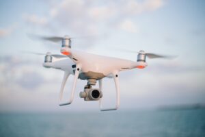
An aerial drone survey involves capturing aerial data with downward-facing sensors, such as RGB or multispectral cameras, and LIDAR payloads, using an unmanned aerial vehicle (UAV).
The use of drones by land surveying companies has revolutionized land surveying over the past few years, allowing them to collect data faster, more accurately, and in previously inaccessible locations.
As a result, a client who needs a survey completed on a simple or complex project in a timely manner is able to benefit from the cost savings associated with drone survey.

Types of Drone Surveying
Topographic Site Surveys
Topographic site surveys are detailed maps of both natural and man-made features on a land mass. A survey of this type is commonly used to create base maps for construction projects or estimate the volume of materials on a site.
Our drone surveys can provide you with detailed, accurate contour maps containing millions of data points so you can make informed decisions. A drone is also capable of flying in tight spaces and over obstacles, making it ideal for surveying difficult-to-reach areas. Using existing ground data and adding custom features, 3D designs, and models to your design will also make it look more realistic to the actually site conditions.
Volumetrics for Site Progress Reporting
A volumetric analysis may be required for construction surveying services or mining projects with large stocks of materials and resources.
A volume measurement is used to determine how much material needs to be moved or removed from a construction site for a particular project. By using drones, you can accurately measure existing stockpiles and the material on a construction site.
Using this information, you can monitor your project’s progress or be sure you have enough materials on-site to meet your requirements
Aerial Mapping Images
Compared to land-based surveying, which can often be time-consuming and expensive, aerial photography offers a huge improvement. A drone survey allows us to capture high-resolution images from multiple angles of your site.
An orthomosaic, a 3D model, and a digital terrain model (DTM) can be created with this imagery. In addition to monitoring construction progress or planning future developments, these models can be used for a variety of purposes. If you’re analyzing land parcels or scheduling complex activities, then this can be helpful, as you’ll receive high-definition images of the land, as well as what’s surrounding the area.
Site Plans
With aerial imagery, you can see potential obstacles and find the best way to develop a property, as well as get a better understanding of the property.
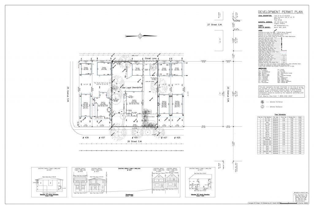
The drone survey enable us to capture high-resolution images of your site from a variety of angles, which can be overlayed onto your existing drawings to give you a better idea of what the completed project will look like. The builder will be able to accurately accommodate the land’s geographic features and other variables in the building plan.
Clients now have valuable insights into their projects through the combination of photography and design.
Existing structure scans in 3D
A powerful application of scanning technology is photogrammetry or LiDAR scanning of existing structures. With high-resolution scans, designers can measure everything from ravines to windows on buildings. As a result, renovations and additions can be carried out accurately since the existing conditions are accurately represented.
It is also possible to use 3D scans to create as built drawings, which can be used for asset management and maintenance purposes.
Orthomosaic Mapping
Orthomosaics are high-resolution, geo-referenced images of a site. Often, these maps are used to track the progress of construction projects, land use planning, and asset management.
By using drone surveying, we can capture hundreds of images, which we stitch together to create a seamless orthomosaic map. In addition to being exportable to a variety of formats and projected at any scale, this map can also be easily integrated into your workflow.
Are you looking for a drone survey?
Our drone surveys are available for a wide range of developments, including drone construction surveys, residential surveys, commercial, industrial, and many more.
Call us here, to learn more about how drone surveying can be used for your next land survey.
Our team works diligently to ensure your project is a success.


