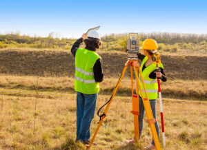
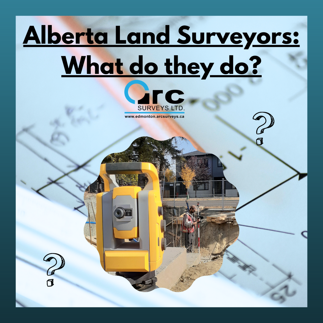
While driving around Edmonton, there may have been a time where you’ve seen someone in a hard hat and orange vest working on the side of the road doing what appears to be taking pictures, but most likely what you’re seeing is an Alberta land surveyor conducting a survey! That funky looking device, similar to a tripod, is actually one of the many tools land surveyors use to measure and map out the physical features of a piece of land, including its dimensions, location, and elevation.

Edmonton land surveyors are professionals who work in all types of outdoor terrain to draft and design detailed documents about a specific piece of land or area. These documents are used to construct roads, buildings, infrastructure, housing developments, parking lots, define boundaries, mark utility locations and more. Edmonton land surveyors are critical for land development, construction, and property ownership.
The most common and pronounced surveys that land surveyors execute is in real estate, and this is known as a real property report. A real property report provides detailed information about the physical boundaries and features of a property.
To ensure a smooth real estate transaction and the best possible outcome, it is essential to obtain a Real Property Report when buying or selling property in Alberta. Land surveyors play a critical role in this process by officially defining the property’s boundary lines and all features of either the existing land or structure. This benefits not only the current owner but also potential buyers or developers. By creating maps of the property line and existing structures, Alberta Land Surveyors can identify any encroachments and prevent or resolve lot line disputes in the future.
Other Types of Surveys
There are several different types of surveys that land surveyors perform. Another common survey, used in real estate but also for other industries, is a property line survey. These surveys are used to define the legal boundaries of a piece of land, including the location of property lines, corners, and markers.
Another is construction surveys. Construction surveys are used to provide accurate measurements and layout information for building and infrastructure projects. These surveys may include land surveyors staking and marking the location of structures, grading, and other construction-related activities.
Land title surveys are used to prepare legal descriptions and maps for the transfer of ownership of a piece of land. These surveys may include detailed information about property boundaries, encroachments, easements, and other legal considerations.
Lastly, topographic surveys are used to document the physical features of a piece of land, including the elevation, contours, and other natural and man-made features. Topographic surveys may be used for planning and design purposes, as well as for environmental or geological assessments.
All of these, and more, are extremely important to urban development and planning. Without surveyors, land management and future development would be a lot more complicated with a large margin for error and delay. Land surveyors help to ensure a smooth process for all the different industries they work for.
Who uses land surveyors:
- Property owners may hire land surveyors to determine the exact boundaries of their property, particularly if they are planning to build a fence or make other improvements.
- Real estate agents and attorneys hire Edmonton land surveyors to provide legal descriptions of properties, resolve boundary disputes, and provide expert testimony in legal cases.
- Developers, contractors, and builders may hire land surveyors to provide information about the topography and physical features of a piece of land, as well as to ensure that construction projects are in compliance with local zoning laws and other regulations.
- Government agencies have been known to hire surveyors to provide information about the physical features of land, particularly in areas that are being considered for governmental development or historic conservation.
- Land surveyors often work with engineers and architects to provide accurate measurements and mapping data for construction projects.
In summary, anyone who needs accurate information about the physical features and boundaries of a piece of land needs the services of a land surveyor.
Edmonton land surveyors are an indispensable field of professionals used by a variety of industries to keep Edmonton infrastructure expanding in a safe and sustainable way. They are well versed in the local geography and legal requirements needed to meet any of your surveying needs.
Arc Surveys
Have any questions about land surveys and their role in urban development? Give us a call at (780-800-1260) or send us an email. We’re always happy to help!


